Two-Day Workshop on Lake Monitoring, Mapping, and Conservation in Anekal
Date: 3rd and 4th November
Location: Azim Premji University, Bengaluru
Day 1: Interactive knowledge-sharing session and Hands-on field visit
Morning – Knowledge sharing session
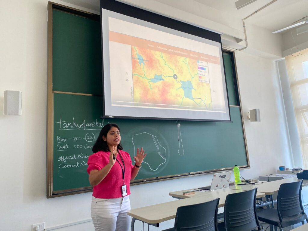

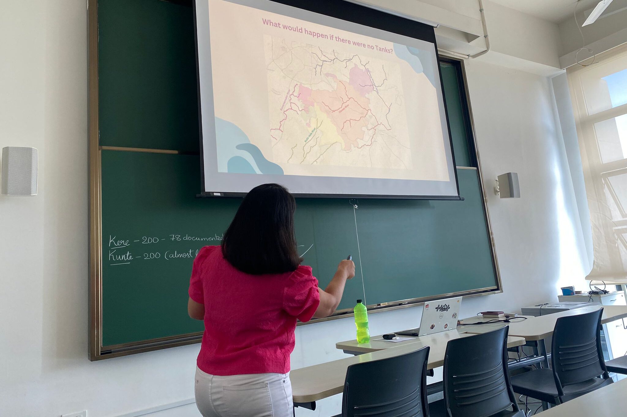
- Historical Context: The workshop began with an exploration of the tank systems in South India, particularly focusing on the Deccan Plateau and Bengaluru’s 16th-century urban settlements. It highlighted the absence of perennial water sources and the construction of cascading tank systems using bunds, fed by stormwater drains (Kaluves), and connected via overflow weirs (Kodis).
- Anatomy of the Tanks: The presentation detailed the typical structure of these tanks, including upstream lakes, wetlands, inlets, sluice gates, and downstream lakes. The current state of these tanks, including issues like landfill encroachments, sewage intrusion, and urban flooding, was discussed.
- Land-Use Changes in Anekal: There was an analysis of land-use and land-cover changes in Anekal over four decades, using satellite data from Landsat and Sentinel showing rapid urbanization in Anekal Taluk.
- Water Resources and Challenges: The workshop delved into the challenges in mapping the tanks, addressing issues with various mapping methods like the Survey of India Toposheets, Global Surface Water Explorer, and Karnataka GIS Website. It also discussed the importance of natural drainage maps apart from apps like Dishank in providing cadastral maps.
- Groundwater and Aquifers: A significant focus was on Bengaluru’s groundwater and aquifer systems, differentiating between shallow and deep aquifers and their recharge times. The session also covered the challenges related to current water sources, including overexploitation of borewells and dependency on the Cauvery River.
- Conservation and Documentation: The workshop concluded with a call to action for mapping and documenting more tanks on the Urban Lake Dashboard, emphasizing the importance of water quality baseline data, mapping of Rajakaluves and Kaluves, and auditing flood risks in Anekal Taluk.
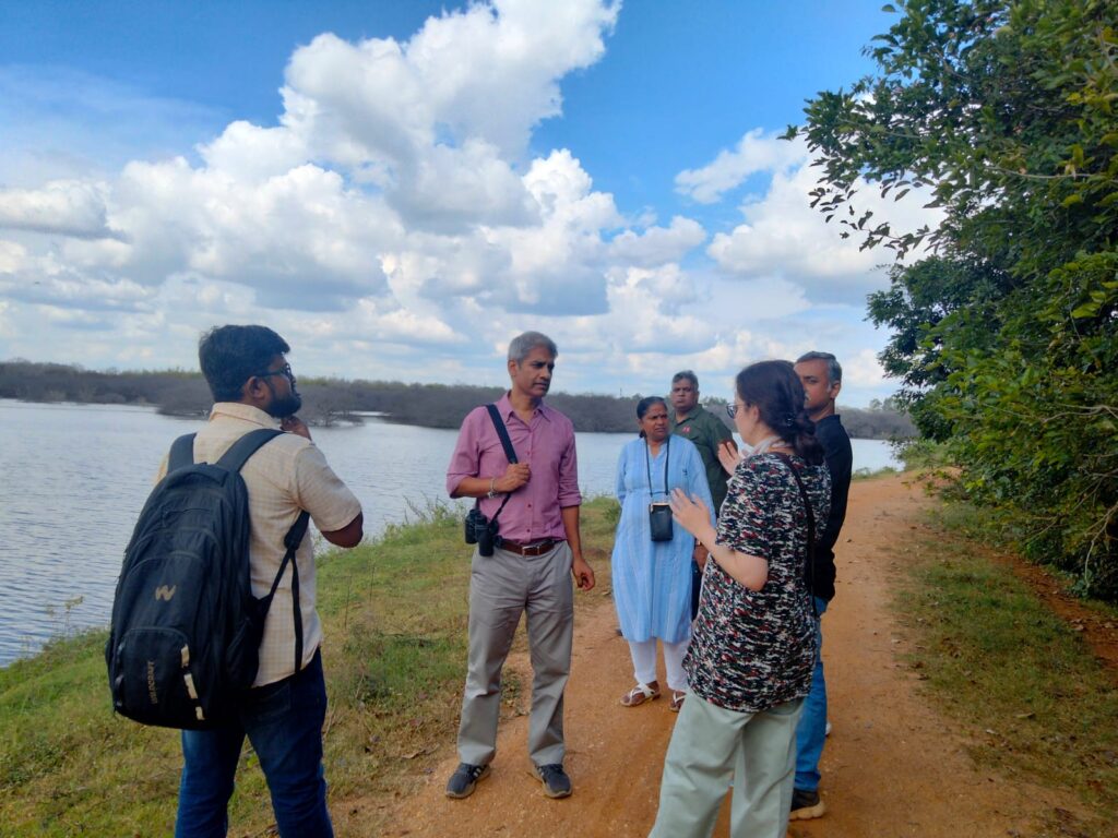
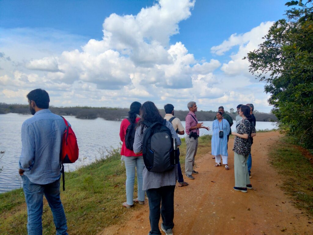
Afternoon – Field Training
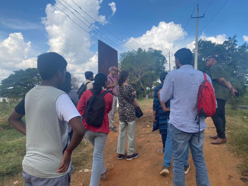
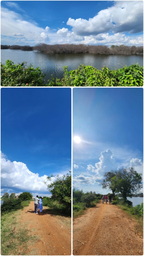
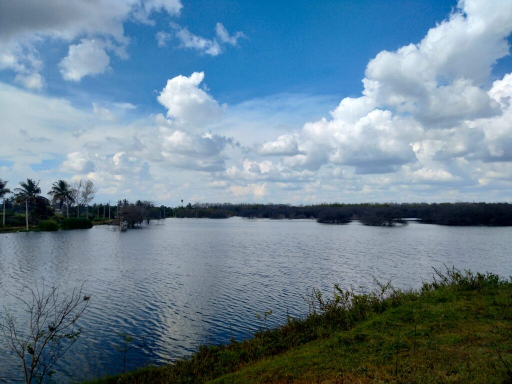
Participants were taken on a field visit to Narayanaghatta Lake sites for hands-on training in data collection using a lake protocol form and geotagging various parts of lakes, their conditions, stressors of the lake, etc using a simple GIS logger.
Day 2: Field Research and Data Collection
Group Assignments: Participants were divided into pairs and assigned specific lakes in the Anekal Taluk region. The task involved surveying the lakes, geotagging various features of the lake, and filling out detailed survey forms.
The “Lake Survey Protocol” is a comprehensive form designed for a detailed assessment of a lake’s ecological and physical state. Here’s a summarized overview:
- Basic Information: Date, Time, Lake Name, Survey Number(s), Village and Panchayat Names, Number of villages sharing the lake.
- Physical Structure Assessment: Location and condition of the Bund, Sluice Gate, Inlets, and Waste Weir, with emphasis on any damages or irregularities (e.g., cracks, hollow holes, stagnating water), Vegetation presence on the Bund.
- Water Body Assessment: Presence, color, and odor of water in the lake. Vegetation growth on the water surface, including species identification if possible.
- Seasonal and Depth Data: The Time of the year when the lake is typically full. Maximum water level and depth measurements.
- Biodiversity Documentation: Observations of biota, including birds, insects, animals, vegetation, and invasive species.
- Environmental and Social Challenges: Identification of threats and issues such as sand mining, sewage entry, open defecation, waste dumping, and construction debris. Types of encroachments (e.g., construction, agriculture).
- Socio-Economic Aspects: Activities and livelihood dependencies like cattle grazing, bathing, and fishing. Description of the command area, including construction, agricultural practices, and the presence of drains.
- Visual Documentation: Photographs of the lake, bund, sluice gate, waste weir, water, biota, command area, and any specific issues or observations.
This protocol provides a detailed framework for collecting a wide range of data crucial for understanding the current state and challenges faced by a lake, thereby aiding in its conservation and management.
Lake mapping and geo-tagging by participants:


Key Outcomes:
- Physical integrity and maintenance: 80% of the studied water bodies exhibit concerns regarding their physical integrity. Specifically, there is a pressing need for maintenance and repair work on critical structures such as waste weirs and bunds.
This highlights a significant area of focus for conservation efforts to ensure these lakes’ long-term health and functionality. - Water Quality and Lake Health: In our comprehensive survey of the local lakes, a pervasive issue of eutrophication across each water body has been identified. This phenomenon, characterized by an excessive accumulation of minerals and nutrients, has been consistently observed in all the studied lakes. Such nutrient enrichment, often stemming from runoff and other anthropogenic sources, leads to detrimental ecological impacts, including dense algal blooms and diminished water quality.
- Only 40% of the lakes have water in them. 80% had vegetative growth on the water and 20% had a strong sewage smell. Participants’ insights contributed significantly to the existing data on the Urban Lake Dashboard.
- Biodiversity:
Birds (Aves): Baya Weaver, Little Cormorant, Indian Pond-Heron, White-breasted Waterhen, Tailorbird, Green Bee-eater, Kingfisher, Drongo, Myna, Purple Heron, Medium Egret, Red-wattled Lapwing, Purple Sunbird, Scaly-breasted Munia, White-browed Wagtail, Greater Coucal, Blyth’s Reed Warbler, Pale-billed Flowerpecker – Insects: Dragonflies, Butterflies, Bees, Mosquitoes – Animals: Snakes, Dogs.
Flora (Plant Life): Pongamia pinnata, Wild Date Palm Tree, Water Lilies, Peepal Tree. Various Trees and Shrubs, including Jackfruit and Indian Tulip.
Invasive species: Dense growth of Water Lily and Lantana shrubs in and around the lakes. - Types of Encroachment Identified
Construction-related Encroachments: 80%
Dumping of Construction Debris: 60%
Housing Developments: 40% - Command Area-Related Survey (Land Usage in Command Area)
Areas with Construction/Buildup: 100%
Presence of Agricultural Land: 60%
Specific Constructions Noted: School Buildings: 20%
Apartment Complexes and Private Property/Projects: 40% - Kaluve (Drainage Channel) Related Issues
Kaluves Not Visible or Present: 80%
Presence of Drainage Channels Confirmed: 20% - Environmental Concerns:
Solid Waste Dumping: 100%
Sewage Water Entry: 40%
Open Defecation: 40% - Socio-Economic Activities:
Cattle Grazing and Bathing: 20%
Conclusion:
The workshop successfully engaged a diverse group of individuals, from students and citizens to professionals and activists, in the essential task of lake conservation and monitoring. The hands-on approach provided valuable insights into the practical aspects of environmental stewardship.